community
|
data
|
history
|
publication list
|
partners
Aerial Photos
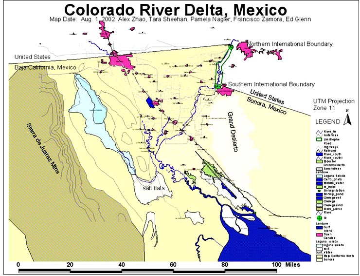
The Basemap
Developing a GIS
IBWC Graphs
Ground Photos
Imaging Requirements
Developing a Basemap
Remote Sensing
Satellite Images
Techniques for Mapping
Vegetation Mapping
Last Updated:
February 1, 2003
home
|
community
|
data
|
history
|
publication list
|
partners
|
site map
|
staff