Using geospatial technologies to understand dryland dynamics
![]() No.
51, May/June 2002
No.
51, May/June 2002
Using geospatial technologies to understand dryland
dynamics
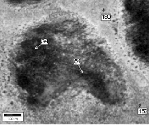 Here, greyscale values are automatically being assigned to different pixels in this rasterized aerial photograph. The lighter the color in the image, the higher the value assigned. |