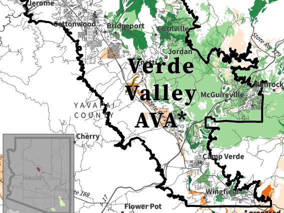
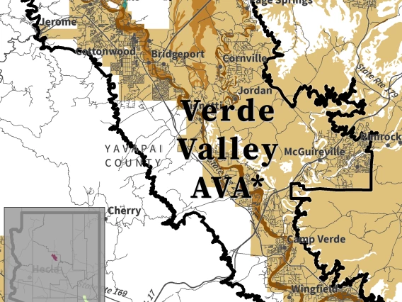
< Back to Verde Valley AVA (proposed)
Soils derive from the geology of an area and their physical and chemical properties help determine characteristics like water infiltration, storage, and draining, erodibility, and acidity or alkalinity. These components can inform winegrape growers on site and variety suitability, vineyard design and infrastructure, vine growth and yield, as well as potential wine styles for which their fruit may be best.
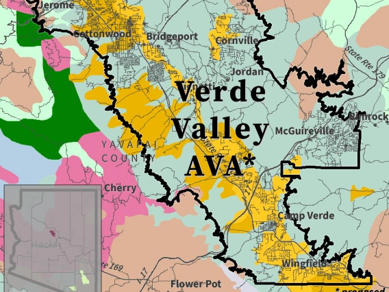
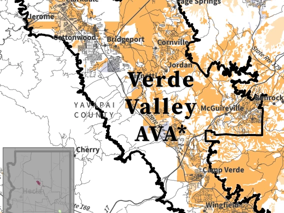
![map of parent material for proposed Verde Valley AVA](/research/climategem/sites/cales.arizona.edu.research.climategem/files/styles/az_card_image/public/verde-valley-ava-parent-material-web-vvprop.png.webp?itok=MbOnBMT7)
Parent Material
Parent material is the type of bedrock from which soil forms.
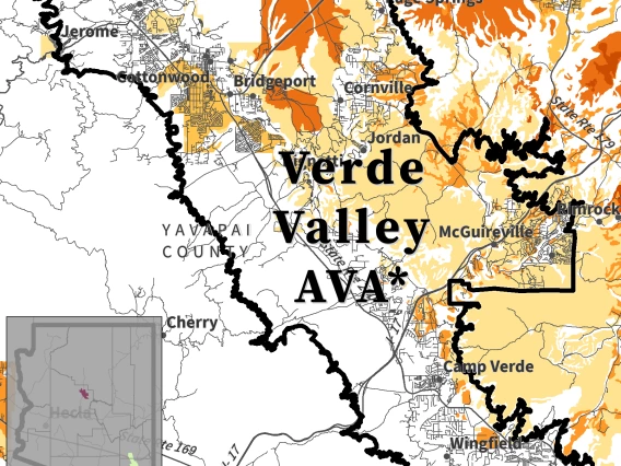
![map of major rock types for proposed Verde Valley AVA](/research/climategem/sites/cales.arizona.edu.research.climategem/files/styles/az_card_image/public/verde-valley-ava-major-rock-types-web-vvprop.png.webp?itok=4MNGV0Bd)
Major Rock Types
Major rock types are the most common solid, loose, and unstratified rocks, defined by composition, texture, and origin.
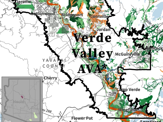
![map of depth to bedrock for proposed Verde Valley AVA](/research/climategem/sites/cales.arizona.edu.research.climategem/files/styles/az_card_image/public/verde-valley-ava-depth-to-bedrock-web-vvprop.png.webp?itok=Di6lWWpy)
Depth to Bedrock
Depth to bedrock represents the distance between the soil surface and the top of a restrictive layer.
![map of soil texture for proposed Verde Valley AVA](/research/climategem/sites/cales.arizona.edu.research.climategem/files/styles/az_card_image/public/verde-valley-ava-soil-texture-web-vvprop.png.webp?itok=wFyAV3tc)
Texture
Texture refers to the relative proportions of mineral grains in soil based on their size.
![map of soil drainage class for proposed Verde Valley AVA](/research/climategem/sites/cales.arizona.edu.research.climategem/files/styles/az_card_image/public/verde-valley-ava-drainage-class-web-vvprop.png.webp?itok=MU6WOBAs)
Drainage Class
Drainage class describes the occurrence and movement of water in soil.
![map of available water storage for proposed Verde Valley AVA](/research/climategem/sites/cales.arizona.edu.research.climategem/files/styles/az_card_image/public/verde-valley-ava-available-water-storage-web-vvprop.png.webp?itok=G3VkiOqK)
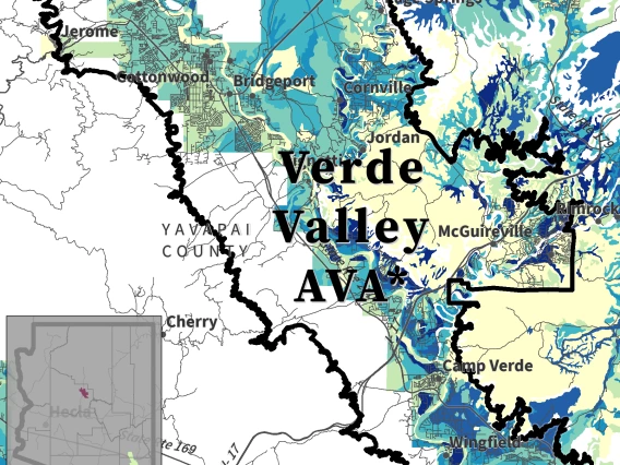
Available Water Storage
Available water storage represents the amount of water soil can store for plants.
![map of soil pH for proposed Verde Valley AVA](/research/climategem/sites/cales.arizona.edu.research.climategem/files/styles/az_card_image/public/verde-valley-ava-ph-web-vvprop.png.webp?itok=LMIoy_9O)
pH
pH reflects the relative acidity or alkalinity of soil.