Using geospatial technologies to develop
participatory tools for natural resources management
![]() No. 53, May/June 2003
No. 53, May/June 2003
Using geospatial technologies to develop
participatory tools for natural resources management
|
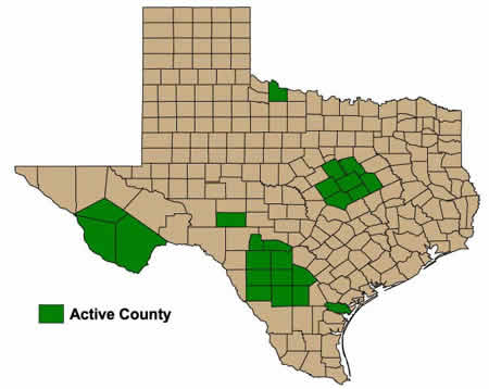
In the Texas LEWS, there are currently over 200, 25 x 25 km weather grids established in LEWS pilot regions, with each weather grid averaging five different virtual landscapes. |