Using geospatial technologies to develop
participatory tools for natural resources management
![]() No. 53, May/June 2003
No. 53, May/June 2003
Using geospatial technologies to develop
participatory tools for natural resources management
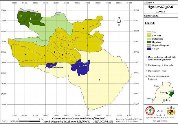 This image provides an example of one of the final products of the project, an agroecological map that combines geospatial data with local knowlege. |